Quick summary
Four Indonesian volcanoes are operating under Level 4 alerts — Indonesia’s highest — as of February 2026, with exclusion zones extending up to 20 km from crater rims. Mount Semeru, Mount Lewotobi Laki-Laki, Mount Sinabung, and Mount Marapi are all actively erupting or structurally unstable. Pyroclastic flows reached Semeru’s base on January 14, 2026. Hikers, adventure tourists, and anyone transiting East Java, West Sumatra, or East Nusa Tenggara must verify current zones before departure.
Alert levels and exclusion zones update with minimal notice. Travel insurance is voided the moment you enter a restricted zone against official advice. The practical steps here are non-negotiable.
Four Volcanoes, Four Active Exclusion Zones
Indonesia’s volcanic threat picture deteriorated significantly in late 2025 and has not improved. Air Traveler Club‘s travel advisory monitoring system flagged updated FCDO guidance on February 12, 2026, confirming that four volcanoes across the archipelago remain at maximum alert with enforced exclusion zones affecting popular hiking and tourism corridors.
Mount Semeru in East Java — Indonesia’s highest active volcano and a bucket-list destination for serious trekkers — has been at Level 4 since November 19, 2025. The exclusion zone covers an 8 km radius around the crater and extends 20 km along the Besuk Kobokan drainage channel, with a 500-meter buffer from riverbanks to 17 km downstream. Pyroclastic flows descended to the volcano’s base on January 14, 2026. That is not a historical data point — it is evidence of ongoing summit instability.
Mount Lewotobi Laki-Laki in East Nusa Tenggara erupted in June 2025 and has maintained its Level 4 designation since, with an 8 km exclusion zone around the crater and a 7 km radius across southwest-to-northeast sectors. Mount Sinabung in North Sumatra has been at Level 4 since 2017 with a 7 km exclusion zone. Mount Marapi in West Sumatra recorded continuing eruption activity as recently as February 11, 2026, per Smithsonian/USGS monitoring.
The UK FCDO, US State Department, and Australian DFAT all advise against travel within these zones. That consensus matters for one specific reason: your insurer reads those advisories too.
Flight deals
most people never see
Our AI monitors 150+ airlines for pricing anomalies that traditional search engines miss. Air Traveler Club members save $650 per trip per person on average: see how it works.
Each deal saves 40–80% vs. regular fares:

Why Pyroclastic Flows Change the Calculus Entirely
Lava flows are slow. Pyroclastic flows are not. These superheated avalanches of gas, ash, and rock travel at speeds exceeding 100 km/h with temperatures above 300°C. Once initiated, there is no outrunning them. This is why exclusion zones at Semeru extend 20 km along drainage channels rather than simply radiating from the summit — the hazard follows topography, not straight lines.
The January 14 flows at Semeru descended established channels all the way to the volcano’s base. This happened outside a major eruptive episode — it was dome collapse during a period already classified as maximum alert. That pattern explains why Level 4 designations persist for months. The volcano’s summit remains mechanically unstable, and instability does not announce itself before acting.
Secondary hazards compound the picture. Lahars — volcanic mudflows triggered when pyroclastic material mixes with rainfall or river water — can travel up to 17 km from the summit along drainage channels. Ash fall affects road visibility and, during significant eruptions, regional flight operations. Travelers in surrounding areas, not just on the mountain itself, face real exposure.
For current, authoritative zone data, the MAGMA Indonesia monitoring portal operated by Indonesia’s Center for Volcanology and Geological Hazard Mitigation (PVMBG) publishes real-time alert levels and exclusion zone maps for all active volcanoes in the country.
How Long Do Level 4 Alerts Last?
Mount Sinabung has been at Level 4 continuously since 2017 — nearly a decade. There is no fixed timeline for downgrade. Alert levels depend on magma supply rates, summit structural integrity, and seismic activity patterns. Semeru has been at maximum alert since November 2025 with no downgrade in sight. Booking a trip around an assumed improvement date is not a strategy.
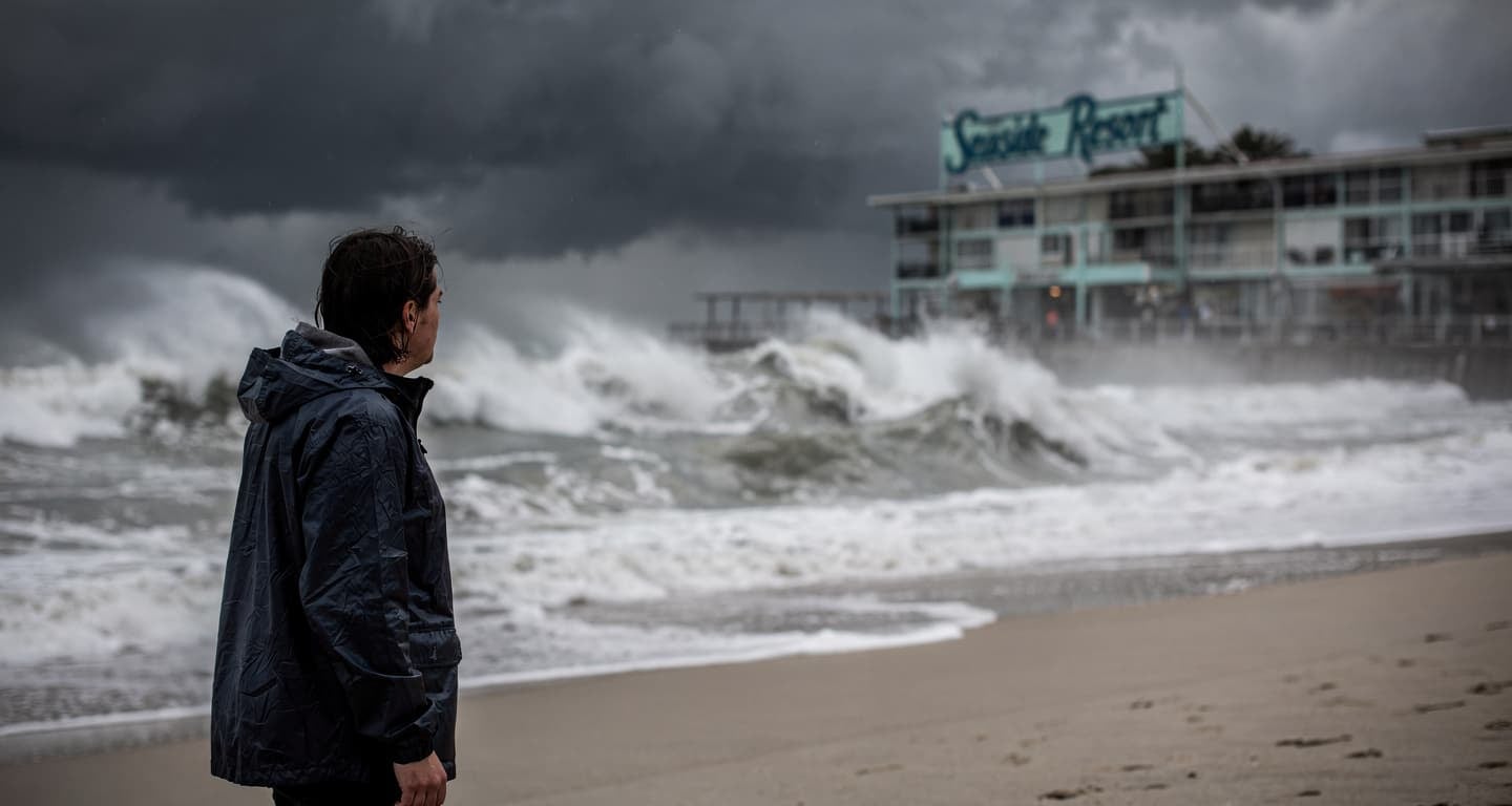
The Insurance Problem Nobody Reads Until It’s Too Late
Most standard travel insurance policies contain a straightforward clause: coverage is void if you travel against an official government advisory. This applies whether you purchased the policy before or after the advisory was issued. It applies even if a local tour operator tells you the zone is “fine” or “open for guided groups.”
US, Canadian, Australian, and New Zealand travelers should treat their home government’s advisory as the binding document — not the tour operator’s marketing copy. If the FCDO, State Department, or DFAT says avoid within 8 km of Semeru’s crater, entering that zone voids your policy. A medical evacuation from a remote Indonesian volcanic region costs upward of $50,000 — assuming conditions allow a helicopter to reach you at all during active pyroclastic activity.
If Mount Bromo — a separate volcano in East Java that draws enormous tourist traffic — falls within an expanded Semeru exclusion zone during your trip, that affects your plans too. Zone boundaries expand with minimal notice. Confirm your specific destination’s status within 48 hours of departure, not at the time of booking.
What to Do
- Check your destination volcano’s current alert level on MAGMA Indonesia and your home government’s advisory (FCDO, State Department, DFAT, or MFAT for New Zealand travelers) within 48 hours of departure — not just at booking.
- Contact your travel insurer directly and ask them to confirm in writing whether your policy covers travel to regions under active government advisories. Do not assume.
- If booking guided volcano tours, confirm the operator has real-time PVMBG monitoring access and get their cancellation and refund policy in writing before payment. Zone expansions happen fast.
- Do not enter any exclusion zone regardless of what local guides, tour operators, or other travelers report. Level 4 is not a suggestion.
Questions? Answers.
Can I hike Mount Semeru right now?
No. The 8 km exclusion zone around the crater and 20 km zone along the Besuk Kobokan drainage remain in effect under Level 4 alert. Pyroclastic flows reached the volcano’s base on January 14, 2026. The summit is mechanically unstable. There is no guided tour exception to this restriction.
What happens if I enter an exclusion zone and something goes wrong?
Rescue operations may be delayed or impossible during active pyroclastic flow events — conditions that ground helicopters and block road access simultaneously. Your travel insurance will almost certainly deny the claim. You may also face legal liability for emergency response costs under Indonesian law. The financial and physical exposure is severe.
Does this affect Mount Bromo visits?
Mount Bromo is a separate volcano from Semeru, but both sit within Bromo Tengger Semeru National Park in East Java. If Semeru’s exclusion zone expands, it can affect access routes and park sections that include Bromo viewpoints. Always verify Bromo’s own alert status on MAGMA Indonesia separately, and confirm with your tour operator that access is currently permitted before departure.
Are flights to Bali or other Indonesian destinations affected?
Significant ash fall events can affect regional flight operations, but Bali itself is not currently under a volcanic exclusion zone advisory. The active alerts cover specific zones around Semeru (East Java), Lewotobi Laki-Laki (East Nusa Tenggara), Sinabung (North Sumatra), and Marapi (West Sumatra). Monitor your airline’s operational updates if your itinerary routes through airports near these regions.
How do I find out if my specific hotel or tour destination is inside an exclusion zone?
Use the MAGMA Indonesia portal (magma.esdm.go.id) to view current zone maps for each active volcano. Cross-reference your accommodation’s GPS coordinates or district name against the published exclusion radius. If you cannot confirm your destination is outside the zone, contact PVMBG directly or consult your country’s embassy in Jakarta for clarification.