Quick summary
The UK Foreign, Commonwealth & Development Office updated its Indonesia travel advisory on March 19, 2026, warning against all travel to areas near six active volcanoes: Mount Lewotobi Laki-laki, Mount Sinabung, Mount Marapi, Mount Semeru, Mount Ruang, and Mount Ibu. Mount Semeru maintains a Level 4 alert with an 8km crater exclusion zone and a 20km buffer along the Besuk Kobokan river after pyroclastic flows reached the base on January 14, 2026. Mount Ibu erupted 16 times in the week leading to March 19, with a 2km radius exclusion zone plus a 3.5km northern sector ban.
Guided tours cannot bypass Level 4 zones — operators must cancel bookings regardless of prior arrangements. Ash plumes from these volcanoes can close airports 200+ kilometers away for 24–72 hours, as Mount Ruang demonstrated in 2024, stranding travelers and inflating last-minute hotel rates 50–100%. The article explains Indonesia’s four-level alert system, identifies which airports face disruption risk, and provides the monitoring tools travelers need before departure.
Indonesia’s volcano monitoring agency escalated warnings across six mountains in early 2026, with the FCDO formalizing the advisory on March 19. The update affects travelers to East Java, North Sumatra, West Sumatra, North Maluku, and East Nusa Tenggara — regions that collectively draw tens of thousands of trekkers and cultural tourists annually.
Level 4 is not a suggestion.
It means imminent eruption risk with pyroclastic flows — superheated gas and rock traveling at 700 kilometers per hour — that can obliterate anything in their path. Mount Semeru’s January 14 flow reached the mountain’s base. Mount Sinabung has held Level 4 status since 2017 due to structural instability. Mount Marapi erupted as recently as February 11, 2026.
The geographic scope is precise. Semeru’s exclusion zone extends 8 kilometers from the crater in all directions, with an additional 20-kilometer buffer along the Besuk Kobokan river plus a 500-meter lateral margin. Lewotobi Laki-laki enforces an 8-kilometer radius with extended 7-kilometer southwest-to-northeast sectors. Sinabung maintains a 7-kilometer perimeter.
Mount Ibu, upgraded to Level II (Waspada) after 127 seismic events on March 19 alone, erupted 16 times that week. The exclusion zone covers a 2-kilometer radius plus a 3.5-kilometer northern sector. Mount Ruang, which triggered airport closures in 2024, remains at Level 2 with entry prohibited.
Bali is unaffected by the current exclusions, but ash from East Java volcanoes can disrupt flights to Indonesia from Europe that transit through Denpasar or Surabaya.
How Indonesia’s volcano alert system works
Indonesia’s Center for Volcanology and Geological Hazard Mitigation (PVMBG) operates a four-tier system. Level 1 (Normal) indicates baseline activity. Level 2 (Waspada) signals increased seismic readings requiring monitoring. Level 3 (Siaga) means eruption is likely within weeks. Level 4 (Awas) declares imminent danger with mandatory evacuations.
The system responds to real-time seismic data. Mount Ibu’s 127 earthquakes on March 19 triggered its Level II status within hours. Semeru’s Level 4 designation, active since November 19, 2025, reflects ongoing pyroclastic flow risk from structural weakness in the crater wall.
| Volcano | Alert level | Exclusion zone | Last major event |
|---|---|---|---|
| Mount Semeru | Level 4 | 8km radius + 20km river buffer | Jan 14, 2026 flow |
| Mount Lewotobi Laki-laki | Level 4 | 8km + 7km SW-NE sectors | June 17, 2025 eruption |
| Mount Sinabung | Level 4 | 7km radius | Ongoing since 2017 |
| Mount Marapi | Level 4 | Data pending | Feb 11, 2026 eruption |
| Mount Ibu | Level II | 2km + 3.5km N sector | 16 eruptions to Mar 19 |
| Mount Ruang | Level 2 | Entry prohibited | May 1, 2024 eruption |
Exclusion zones expand dynamically. Sinabung’s perimeter grew after a 2018 dome collapse. Semeru’s river buffer exists because lahars — volcanic mudflows — follow drainage channels at 60 kilometers per hour, reaching villages 15 kilometers downstream in under 20 minutes.
The Singapore Ministry of Foreign Affairs tracks PVMBG levels in real time for its citizens, providing a model for how other governments translate Indonesian technical alerts into travel guidance.
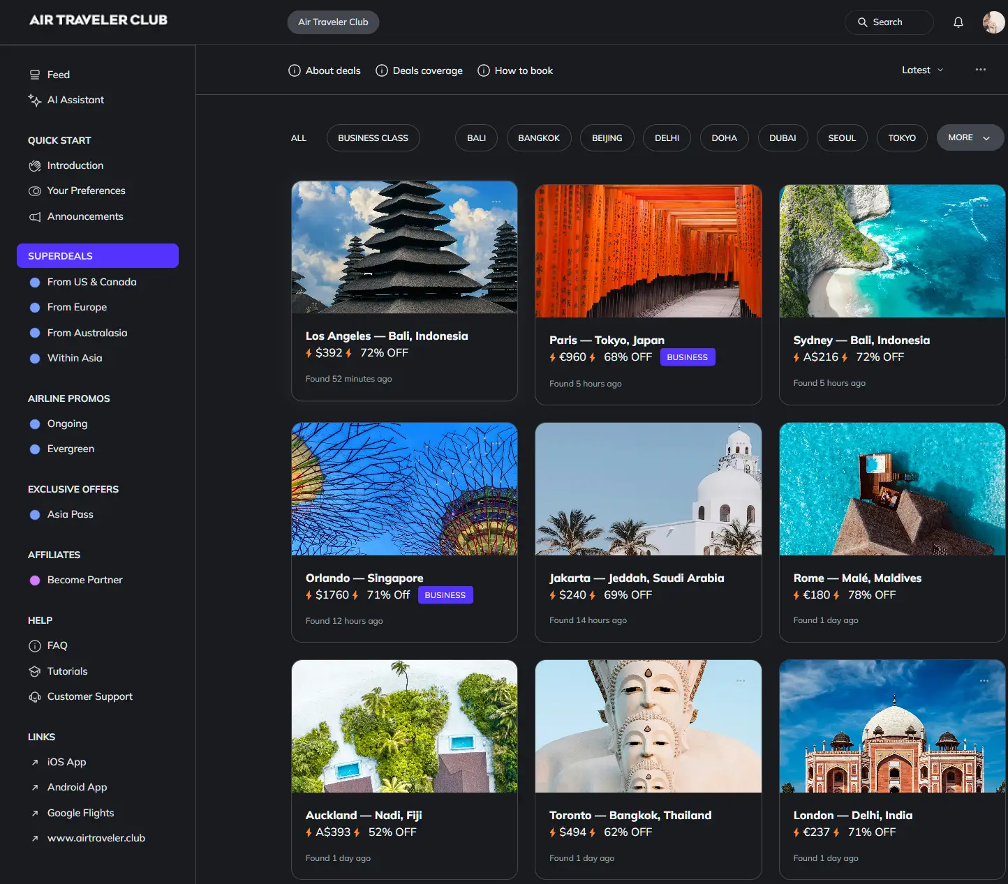
Flight deals
most people never see
Our AI monitors 150+ airlines for pricing anomalies that traditional search engines miss. Air Traveler Club members save $650 per trip per person on average: see how it works.
Each deal saves 40–80% vs. regular fares:
Why ash disrupts flights hundreds of kilometers away
Volcanic ash is pulverized rock — sharp, abrasive particles that melt at 1,100°C and re-solidify inside jet engines operating at 1,400°C. The molten glass coats turbine blades, reducing thrust and causing flameout. A British Airways 747 lost all four engines over Java in 1982 after flying through an ash cloud; the crew restarted three at lower altitude and diverted to Jakarta.
Modern aviation bans any flight through visible ash. When Mount Ruang erupted in May 2024, airlines canceled routes within a 200-kilometer radius for 48 hours, stranding travelers at Sam Ratulangi Airport in Manado. Hotels near the airport raised rates 80% overnight as passengers scrambled for accommodation.
Semeru’s ash plume closed Juanda International Airport in Surabaya for two days in January 2026. Garuda Indonesia rerouted Europe-bound flights through Singapore, adding 90 minutes to journey times and triggering missed connections for passengers on tight schedules.
Denpasar’s Ngurah Rai Airport, Bali’s main gateway, sits 300 kilometers west of Semeru — far enough to avoid most ash but vulnerable during easterly wind patterns. The airport closed for 48 hours during Ruang’s 2024 eruption despite the volcano being in North Sulawesi, demonstrating how regional plumes behave unpredictably.
Protect your trip before you book
The six volcanoes have been unstable since late 2025, and seismic patterns suggest activity will continue through mid-2026.
- Verify exclusion zones 48 hours before departure: Download MAGMA Indonesia (iOS/Android) and enable alerts for Semeru, Lewotobi, Sinabung, Marapi, Ibu, and Ruang. Zones expand without warning when seismic readings spike.
- Confirm your insurer covers Level 4 zones: Email your provider asking: “Does this policy pay claims if PVMBG declares Level 4 after I book?” Policies excluding government advisories will deny evacuation or cancellation claims. Add a volcanic ash rider if offered.
- Avoid tour operators marketing “exclusive volcano access”: No exceptions exist to Level 4 exclusions. Operators who promise Semeru summit treks are either uninformed or operating illegally — both scenarios end with your money gone and no recourse.
- Track airline apps if transiting Surabaya, Manado, or Denpasar: Ash closures happen with 6–12 hours’ notice. Garuda Indonesia, Lion Air, and AirAsia publish VONA-triggered cancellations on their apps before updating websites. Have Singapore or Kuala Lumpur routing options ready.
- Request hotel cancellation policies tied to PVMBG alerts: Properties near volcanoes should offer fee-free cancellation if the alert level rises. Get this in writing before paying deposits.
Watch: PVMBG publishes monthly volcano bulletins on the 25th of each month. The April 25 report will indicate whether Semeru’s pyroclastic activity is stabilizing or intensifying — a signal for whether summer 2026 Java itineraries remain viable.
Questions? Answers.
Does ash from these volcanoes affect flights to Bali?
Denpasar (DPS) sits 300 kilometers west of Mount Semeru — typically outside the ash drift zone. However, easterly winds can carry plumes westward, as happened during Mount Ruang’s 2024 eruption when DPS closed for 48 hours despite the volcano being in North Sulawesi. Track the Volcano Observatory Notice for Aviation (VONA) system via the MAGMA Indonesia app, which flags ash above 3,000 meters — the threshold where airlines cancel flights. Current activity at Semeru and Ibu poses minimal Bali risk, but monitor daily if your departure is within 72 hours.
What if my hotel is 10 kilometers from Mount Marapi?
Level 4 exclusion zones expand dynamically based on seismic readings. Mount Sinabung’s perimeter grew from 5 kilometers to 7 kilometers after a 2018 dome collapse, forcing evacuations of villages previously considered safe. Request your hotel operator’s direct PVMBG monitoring feed — legitimate properties in volcanic regions subscribe to real-time alerts. Insist on a 24-hour cancellation policy tied to alert level changes, confirmed in writing. If the property cannot provide PVMBG documentation or refuses flexible cancellation, book elsewhere.
How do I insure against volcanic eruptions?
Standard travel insurance excludes claims when government advisories are active at the time of booking. The FCDO’s March 19 update means policies purchased after that date will deny coverage for the six named volcanoes unless you add a “named peril” volcanic ash rider. Specialist providers like World Nomads, Allianz, and IMG offer Indonesia-specific riders covering trip cancellation, evacuation, and accommodation if a volcano escalates post-purchase. Expect premiums 15–25% higher than base policies. Use comparison tools like InsureMyTrip to filter for volcanic coverage — read the policy document’s “exclusions” section to confirm Level 4 zones are covered.
Can I visit Mount Semeru with a licensed guide?
No. Level 4 alerts prohibit all entry to exclusion zones — no exceptions for guides, researchers, or tour groups. Indonesia’s 2007 Disaster Management Law grants BNPB authority to enforce closures through police checkpoints on access roads. Tour operators who marketed Semeru treks before November 2025 must cancel bookings and issue refunds, though enforcement of refund policies varies. If an operator claims they can bypass restrictions, they are either uninformed or operating illegally. PVMBG’s exclusion zones exist because pyroclastic flows travel at 700 kilometers per hour — no human reaction time exists once an eruption begins.
Do other countries issue similar warnings for Indonesia?
The US State Department maintains a Level 2 advisory for Indonesia overall, citing terrorism and natural disaster risks, but does not list specific volcano exclusions as of March 2026. Canada’s travel advisory warns against non-essential travel to Papua provinces but does not reference the six volcanoes. Australia’s Smartraveller mirrors the FCDO’s volcano warnings more closely, advising against travel to areas near active peaks. Travelers should check their home government’s advisory regardless of nationality — insurance claims often require compliance with your passport country’s guidance, not the destination country’s rules.