Quick summary
US and Canadian governments advise avoiding all travel within 5 kilometers of Jordan’s Syria and Iraq borders due to military activity, terrorism risk, and stray projectiles from regional conflicts. The US State Department ordered non-emergency personnel to depart Jordan on March 3, 2026, following escalated US-Iran hostilities. Rental car insurance policies void coverage if you enter these restricted zones.
Safe travel remains possible on Jordan’s main north-south corridors — Highway 15 (Desert Highway) and Highway 35 (King’s Highway) — which are heavily patrolled and distant from conflict zones. This article covers the exact restricted zones, safe routing alternatives, registration requirements for extended stays, and evacuation options while commercial flights remain available.
Jordan’s northern and eastern borders with Syria and Iraq are off-limits to all travelers as of March 2026. Canada’s government explicitly warns against travel within 5 kilometers of these borders, while US personnel face a 3.5-kilometer restriction from the Syria border specifically. The difference matters: rental car GPS systems won’t warn you when you’re approaching these zones, and crossing into them voids your insurance coverage entirely.
Air Traveler Club’s March 2026 monitoring of US and Canadian travel advisories identified three distinct no-go zones: the Syria-Jordan border corridor, the Iraq-Jordan border east of Ruwaished, and Syrian refugee camps near urban areas. The US Embassy in Amman ordered non-emergency personnel and their families to leave Jordan on March 2-3, 2026, following February 28 hostilities between US and Iranian forces. Commercial flights continue operating from Queen Alia International Airport, but capacity is reduced and the US government recommends departing while options remain available.
For travelers already in Jordan or planning trips in the next 90 days, the core question is route selection. Highway 10 — the direct route east to Iraq — is completely restricted. All areas east of the town of Ruwaished fall under “avoid all travel” advisories due to military activity and absence of emergency services. The two safe alternatives run north-south through Jordan’s interior, well clear of border zones.
The two highways you can actually use
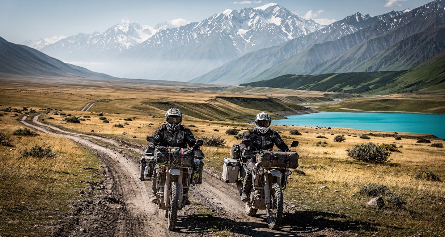
Highway 15, known as the Desert Highway, connects Amman to Aqaba and runs through Jordan’s interior desert. Highway 35, the King’s Highway, parallels it to the west and passes through Petra, Wadi Musa, and Dana Biosphere Reserve. Both routes are heavily patrolled by Jordanian security forces and maintain consistent distance from Syria and Iraq borders — typically 40-80 kilometers depending on the segment.
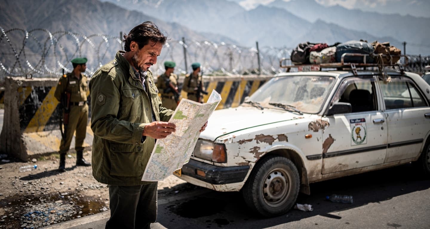
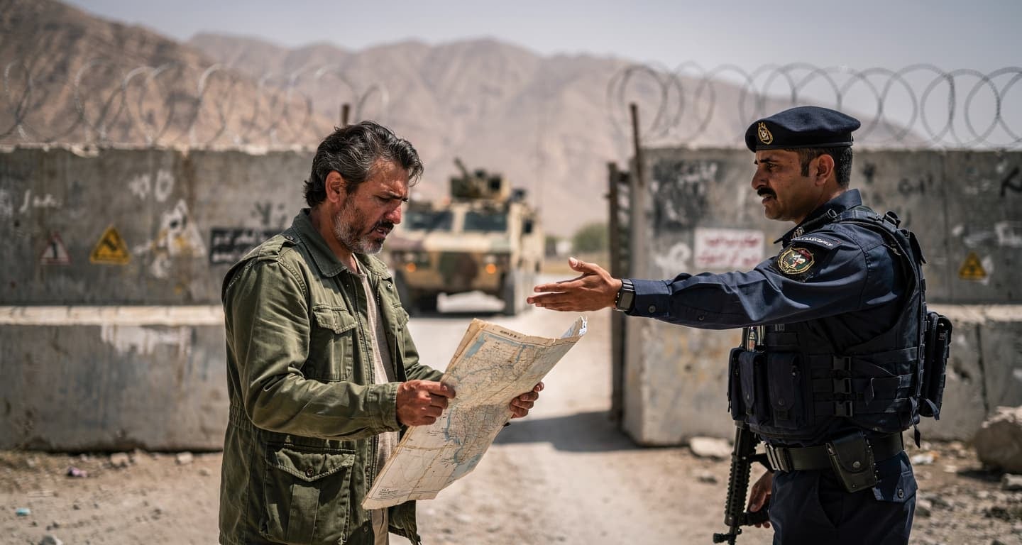
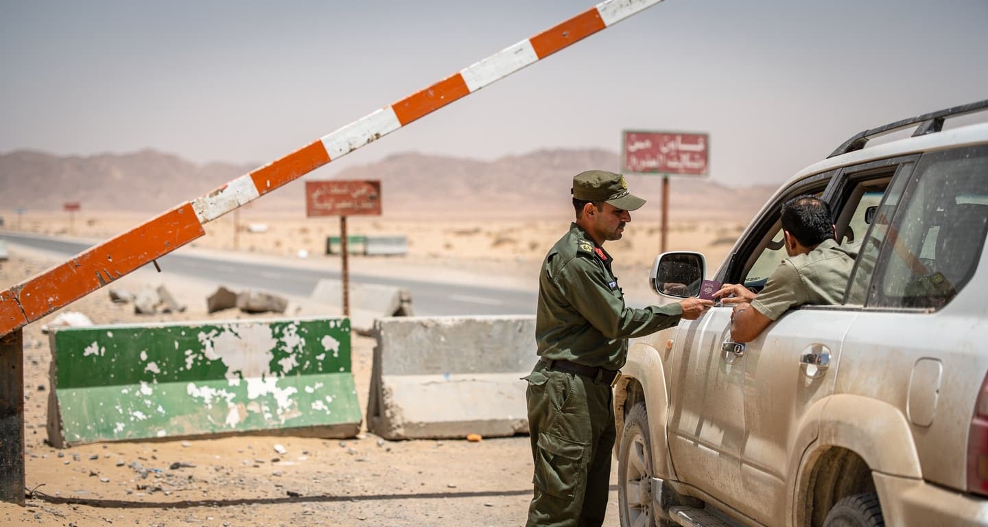
The Desert Highway handles the majority of commercial truck traffic and sees frequent police checkpoints. The King’s Highway attracts more tourist traffic due to its proximity to archaeological sites, but both routes require carrying your passport at all times. Jordanian authorities conduct document checks without warning, and foreign nationals without proper identification face detention until embassy verification.
Night driving on either highway introduces separate risks unrelated to border proximity: stray livestock, minimal road lighting outside urban areas, and limited fuel stations in remote segments. Fill your tank in Amman, Madaba, Karak, or Ma’an before attempting long stretches. The Canadian government specifically warns that emergency services response times exceed two hours in desert segments between major towns.
Where the restricted zones actually start
The 5-kilometer and 3.5-kilometer measurements create confusion because they’re measured from the border fence, not from the nearest road or town. In practical terms, this means the restricted zone extends into unpopulated desert in most areas — but three locations require specific attention.
| Zone | Distance from Border | Advisory Level | Exceptions | Primary Risks |
|---|---|---|---|---|
| Syria-Jordan border | 5 km (Canada) / 3.5 km (US personnel) | Avoid all travel | Umm Qais archaeological site | Cross-border fire, terrorism, militarized zone |
| Iraq-Jordan border (east of Ruwaished) | All areas including Highway 10 | Avoid all travel | None | Military operations, smuggling, no emergency services |
| Syrian refugee camps (Zaatari, Azraq) | N/A — specific facilities | Non-essential travel / approval required | None | Unpredictable security, inadvertent entry near urban areas |
Umm Qais, the Roman-era archaeological site in Jordan’s northwest corner, sits less than 2 kilometers from both Syria and Israel borders but remains explicitly excluded from Canada’s 5-kilometer restriction. The site is accessible via a controlled access road with security checkpoints. However, the Government of Canada advisory warns that this exception applies only to the archaeological site itself — not to surrounding areas or hiking trails that approach the border fence.
The refugee camp restriction operates differently. Zaatari and Azraq camps house Syrian refugees and require advance approval from Jordanian authorities for any entry, including humanitarian workers and journalists. The camps aren’t visibly marked from surrounding roads, and travelers have inadvertently entered restricted perimeters near the camps’ urban buffer zones. The Canadian government classifies these as “non-essential travel” zones rather than absolute no-go areas, but unauthorized entry results in detention.
Flight deals
most people never see
Our AI monitors 150+ airlines for pricing anomalies that traditional search engines miss. Air Traveler Club members save $650 per trip per person on average: see how it works.
Each deal saves 40–80% vs. regular fares:

Why rental insurance voids matter more than the advisory
Government travel advisories carry no legal weight with insurance providers, but they create a documentation trail that insurers use to deny claims. If you’re involved in an accident, theft, or vehicle damage in a zone under “avoid all travel” advisory, your rental car insurance — both the provider’s coverage and any credit card benefits — will refuse the claim on grounds of willful negligence.
The practical threshold: any area within 10 kilometers of the Syria or Iraq borders, any road east of Ruwaished, and any approach to refugee camps. These zones don’t require crossing an official checkpoint to void coverage. Simply being present in the area when an incident occurs is sufficient grounds for denial, even if the incident itself (a flat tire, a minor collision with livestock) has nothing to do with border proximity or conflict.
This matters because Jordan’s road network includes unmarked turnoffs from Highway 15 that lead toward the Iraq border. A driver following GPS routing that prioritizes “shortest distance” over “safest route” could end up on these tracks without realizing they’ve left the protected corridor. The US Embassy Jordan advisory specifically warns that GPS systems don’t incorporate real-time security restrictions, and offline map data may be months out of date.
What the March 2026 evacuation order actually means
The US State Department’s March 2-3, 2026 order for non-emergency personnel to depart Jordan was not a mandatory evacuation — it was an authorized departure, meaning the government paid for employees and their families to leave but did not prohibit them from staying. The distinction matters for travelers: commercial flights continue operating, the embassy remains open for consular services, and there is no immediate threat to Amman or southern Jordan’s tourist areas.
However, the order signals that the US government assesses the risk as high enough to reduce its in-country footprint. This has two practical consequences for travelers. First, if the security situation deteriorates further, the next step would be a mandatory evacuation with limited commercial flight capacity. Waiting until that point means competing for seats with thousands of other foreign nationals. Second, travel insurance policies often include clauses that void coverage if you travel to a destination after your government issues a departure recommendation.
Canada has not issued a comparable departure order, but its advisory language — “avoid all travel” to border zones and “reconsider your need to travel” to Jordan overall — creates similar insurance implications. If you’re planning a trip to Jordan in the next 90 days, verify your policy’s exact wording on government advisories. Some policies void coverage the moment an advisory is issued; others allow a grace period if you booked before the advisory date.
Registration requirements for stays longer than two weeks
Jordan requires all foreign nationals staying more than 14 days to register with local police within 13 days of entry. The rule includes a confusing exception: the first 30 days of a tourist visa are exempt, meaning registration only applies if you’re on a work visa, student visa, or extended tourist stay beyond the initial 30-day period.
Registration takes 2-4 hours at the nearest police station and requires your passport, entry stamp, proof of accommodation, and a completed registration form available at the station. The process is free, but failure to register results in fines of 1.5 Jordanian dinars per day of non-compliance — roughly $2 USD per day — payable at departure. These fines are non-negotiable and must be paid before you’re allowed to board your outbound flight.
The registration requirement becomes relevant for travelers extending their stay due to flight cancellations or itinerary changes caused by the current security situation. If you entered Jordan on a 30-day tourist visa and your return flight is cancelled, pushing your departure to day 35, you must register within 13 days of entry — not within 13 days of realizing you’ll overstay. The clock starts at entry, regardless of your original plans.
When the safe corridors break down
Highway 15 and Highway 35 are safe under normal conditions, but two scenarios change the risk calculation. First, if Jordanian authorities close the highways due to military activity near the borders, there is no alternative route between Amman and Aqaba that avoids restricted zones. The highways’ interior routing is the safety mechanism — if they close, ground travel through Jordan becomes impossible.
Second, the highways pass through towns with separate security concerns unrelated to border proximity. The US advisory specifically names Rusaifa and Baqa’a, both suburbs of Amman, as areas where terrorism risk is elevated. These towns sit on Highway 15’s northern approach to Amman, meaning travelers driving from the airport to the city center pass through them by default. The advisory doesn’t recommend avoiding these areas entirely — they’re not restricted zones — but it warns that the risk profile differs from Jordan’s tourist areas.
The refugee camp proximity issue also affects Highway 15. Zaatari camp sits roughly 15 kilometers east of the highway near Mafraq, and the camp’s buffer zone extends toward the road. There are no signs marking where the buffer zone begins, and travelers have been stopped by Jordanian security forces for pulling over to take photographs of the desert landscape without realizing they were within the camp’s security perimeter. If you’re driving Highway 15 between Amman and the Syria border area, avoid stopping between Mafraq and Ramtha unless you’re at a designated rest area or fuel station.
What to do before your departure date
Jordan’s security situation is stable in tourist areas as of March 2026, but the US and Canadian governments assess the risk as high enough to recommend reconsidering travel. The March 3 authorized departure order remains in effect, and commercial flight capacity is reduced compared to pre-conflict levels.
- Verify your insurance policy’s advisory clause. Contact your provider and ask specifically whether coverage voids if you travel after a government “reconsider travel” advisory is issued. Get the answer in writing via email — phone confirmations don’t hold up in claims disputes.
- Download offline maps for Highway 15 and Highway 35. Use Google Maps or Maps.me and download the entire Jordan region before departure. Verify your route shows the correct highway numbers — not Highway 10 or unmarked desert tracks.
- Register with your embassy’s traveler program. The US Smart Traveler Enrollment Program (STEP) and Canada’s Registration of Canadians Abroad service send real-time security alerts and facilitate contact if evacuation becomes necessary. Registration takes 5 minutes and requires only your passport number and itinerary.
- Book refundable flights and accommodation. If the security situation deteriorates, you’ll want the option to cancel without penalty. Refundable fares cost 20-40% more than non-refundable, but that premium is smaller than the cost of a forfeited ticket if you need to leave early.
Questions? Answers.
Can I drive Highway 10 east of Ruwaished to reach Iraq?
No. Both US and Canadian governments advise avoiding all travel east of Ruwaished, including Highway 10, due to military activity and absence of emergency services. Use Highway 15 or Highway 35 instead, which run north-south through Jordan’s interior and maintain 40-80 kilometers distance from the Iraq border.
Do I need approval to visit Syrian refugee camps like Zaatari?
Yes. Entry to Zaatari and Azraq camps requires advance approval from Jordanian authorities. The camps aren’t visibly marked from surrounding roads, and travelers have inadvertently entered restricted perimeters near the camps’ urban buffer zones. Unauthorized entry results in detention.
What’s the registration rule for stays longer than 14 days?
Foreign nationals staying more than 14 days must register with local police within 13 days of entry. The first 30 days of a tourist visa are exempt, so registration only applies to work visas, student visas, or tourist stays beyond 30 days. Registration is free but takes 2-4 hours. Failure to register results in fines of 1.5 Jordanian dinars per day.
Are commercial flights still operating from Amman?
Yes. Commercial flights continue operating from Queen Alia International Airport as of March 2026, but capacity is reduced compared to pre-conflict levels. The US government recommends departing while flight options remain available. Jordan’s airspace may close on short notice if the regional security situation deteriorates.
How do US and Canadian border distance restrictions differ?
Canada advises avoiding all travel within 5 kilometers of Syria and Iraq borders (except Umm Qais archaeological site). US personnel face a 3.5-kilometer restriction from the Syria border specifically. Both governments advise avoiding all areas east of Ruwaished regardless of distance.
Will my rental car insurance cover me if I drive near the borders?
No. Rental car insurance policies — both provider coverage and credit card benefits — void coverage if you enter zones under “avoid all travel” advisories. This includes any area within 10 kilometers of Syria or Iraq borders, any road east of Ruwaished, and approaches to refugee camps. The void applies even if the incident itself is unrelated to conflict.
Can I visit Umm Qais archaeological site near the Syria border?
Yes. Umm Qais is explicitly excluded from Canada’s 5-kilometer border restriction. The site is accessible via a controlled access road with security checkpoints. However, the exception applies only to the archaeological site itself — not to surrounding areas or hiking trails that approach the border fence. Stay within the designated tourist area.